 ASX: OSM · Orión Project
Minerals Hub / Innovation & Technology / Exploration Technology
Innovation & Technology · Section 01 of 09
Exploration Technology
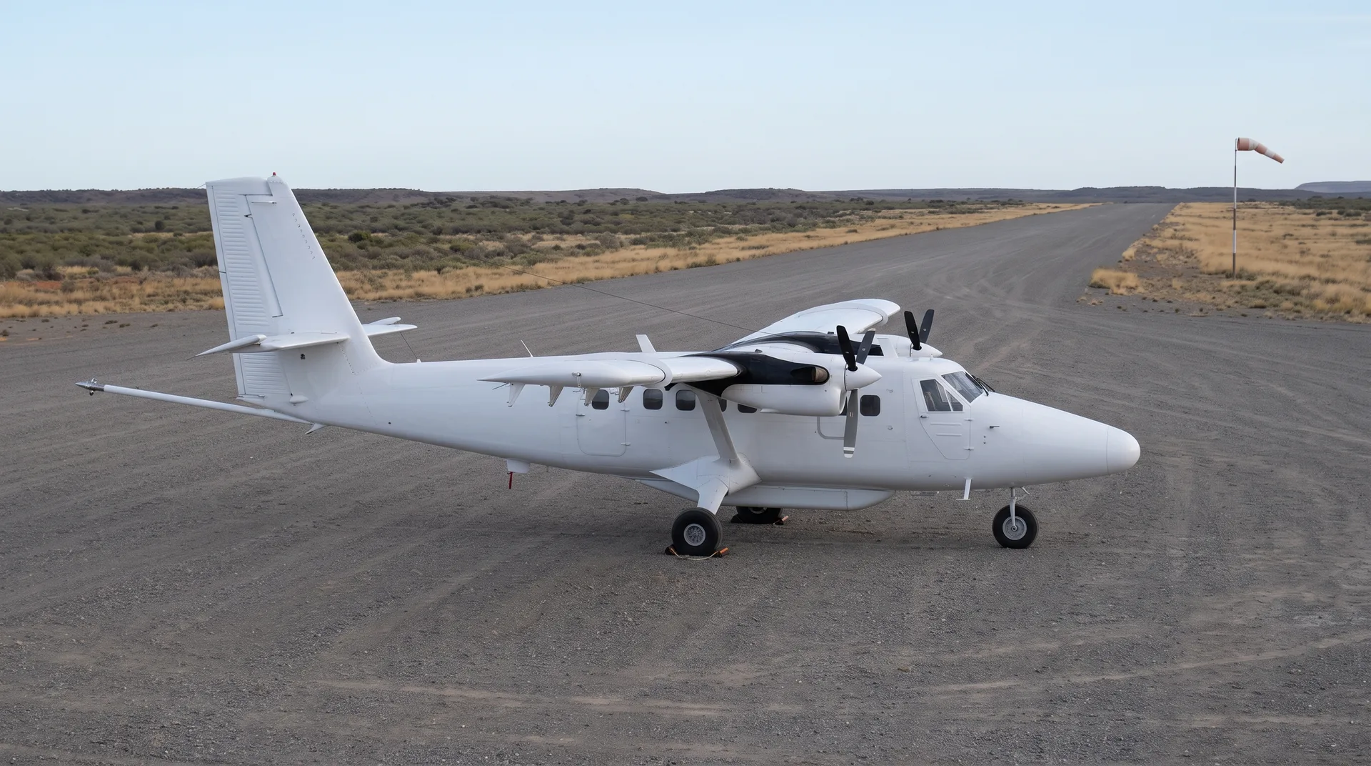
Exploration technology here is the toolkit, not the fieldwork — geophysics, remote sensing, downhole instrumentation and the data methods that decide where to drill. (For the exploration programme itself, see Exploration under Mining & Production.)
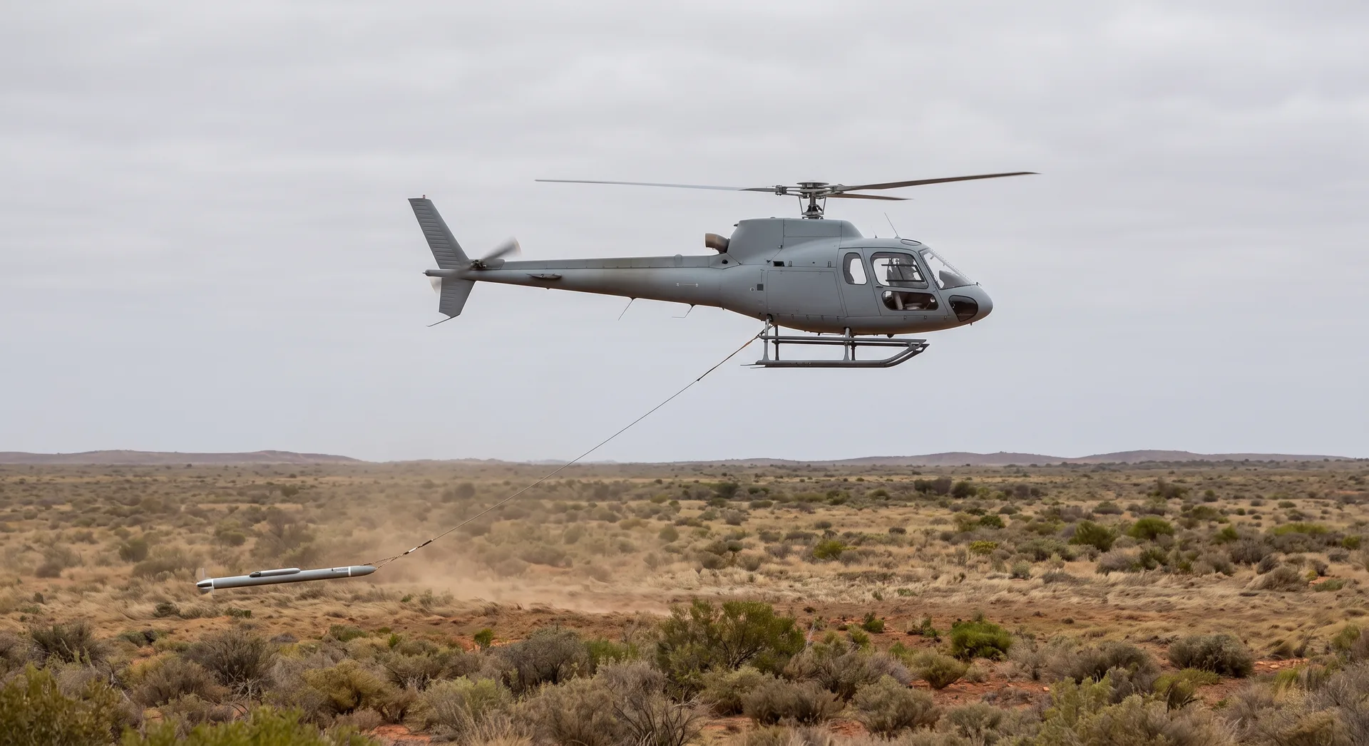
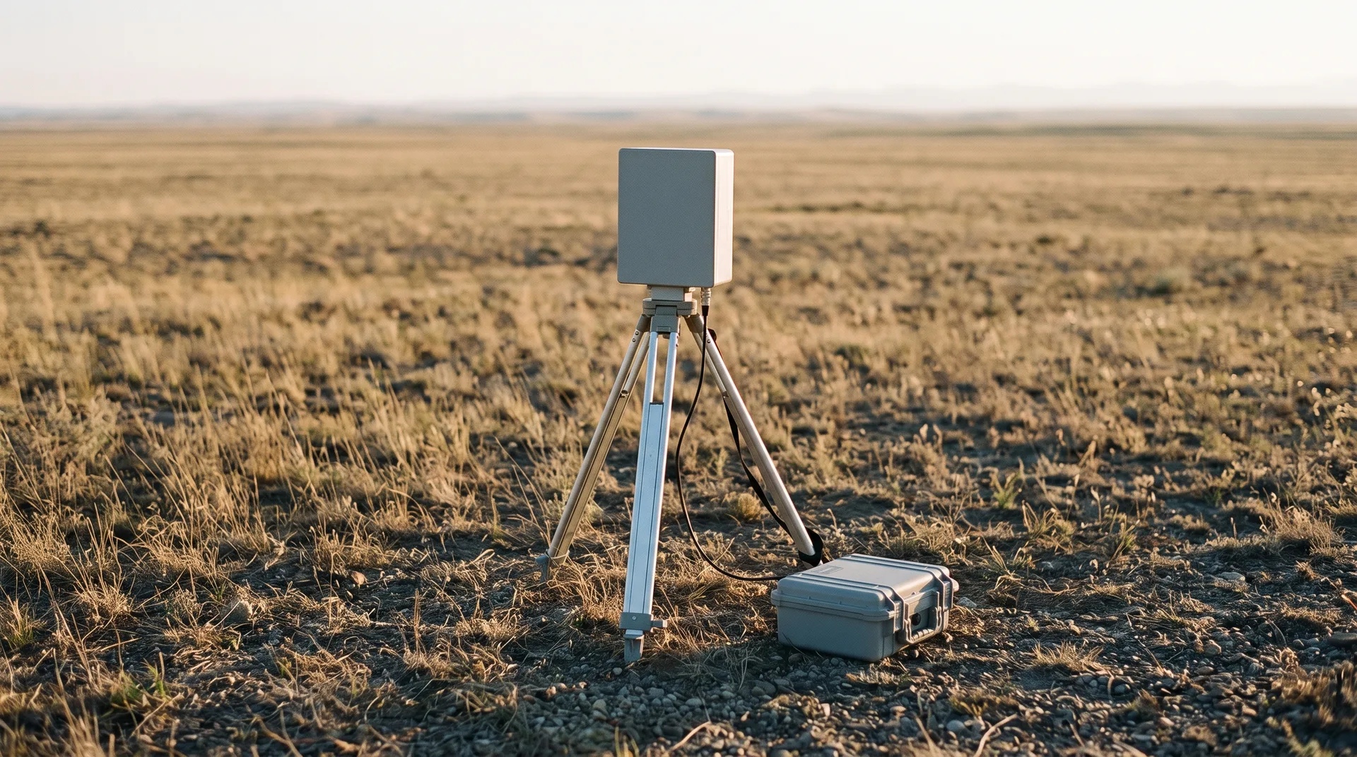
Mineral sands reward these tools unusually well, because the minerals that define the deposit type announce themselves to instruments. Ilmenite responds to magnetic methods. Monazite, through the thorium it carries, registers on gamma-ray spectrometry. The density contrast that concentrated the heavy minerals in the first place is the same contrast a geophysical survey is built to detect. Airborne and drone-borne survey can therefore trace palaeo-shoreline geometry across ground that drilling alone would take a very long time to cover, while automated mineralogy on samples answers a question an assay cannot: which titanium mineral, and which rare-earth host, the material actually contains. In an assemblage of rutile, ilmenite, zircon and monazite, the difference between the element and the mineral carrying it decides everything downstream.
Each technique is defined by what it can and cannot resolve — the depth and resolution limits of airborne survey, what field and laboratory spectroscopy measure and what they only infer, how downhole logging adds to what core shows, and where machine interpretation of survey data genuinely helps rather than encouraging over-reading of a noisy signal. Cost and access belong to the same picture, since a technique available only to a large operator shapes exploration differently from one a small team can carry into the field. Disclosure standards belong in the toolkit as well, because an instrument's output only counts if the reporting code accepts it as evidence.
Exploration under Mining & Production is the counterpart page, covering the programme rather than the instruments. Artificial Intelligence takes up the interpretation layer these tools feed, Digital Mining the systems that hold what they produce, and Technology Providers the firms that build them. Titanium/Rutile and Zirconium/Zircon describe the minerals the instruments are searching for.