 ASX: OSM · Orión Project
Minerals Hub / Geography & Supply Chains / Export Routes
Geography & Supply Chains · Section 06 of 07
Export Routes
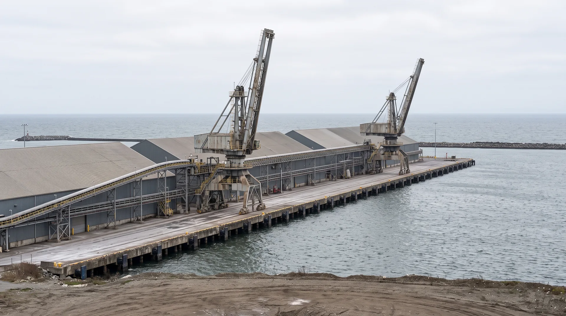
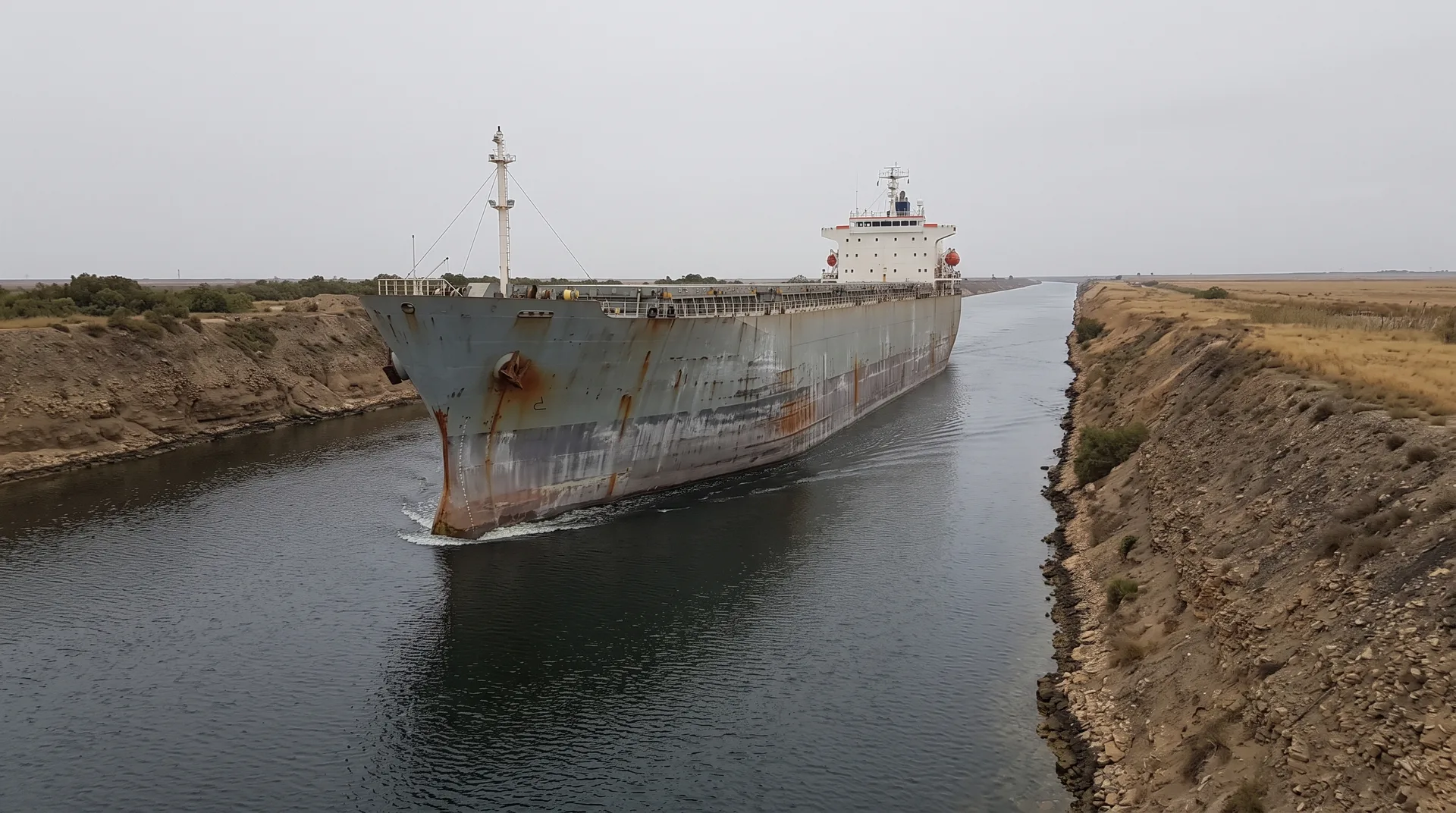
A route is not a line on a map. It is a sequence of specific things — a haul road, a rail line with a given axle load, a berth of a given depth, a canal or strait, a receiving port with the right handling equipment — and each of them can independently stop. Understanding export routes means understanding that sequence rather than the arrows drawn between countries, and this pillar page is built on the distinction.
Two properties of a route need separating, because they are frequently confused. Capacity is what a corridor can carry when everything works; reliability is what it carries across a year including the weeks it does not work. A high-capacity route with a single point of failure can deliver less in practice than a slower one with alternatives, which is why the existence of a second option matters even when it is never used and costs more. Alternatives are also asymmetric: switching a bulk concentrate to another port may be feasible where switching a specialised chemical product to another receiving facility is not, because the equipment and permits at the far end are specific. For minerals whose processing happens in only a handful of locations, route options narrow further still, since the destination is not really a choice.
The corridors these minerals actually use have identifiable transit points where volume concentrates, a record of interruption by weather, capacity constraint and closure, and a set of alternatives that can be evaluated before they are needed. An interruption is an event with consequences that can be traced; assigning fault to anyone involved is a separate exercise, and not one undertaken here.
Logistics covers the handling that happens along these corridors, and Global Trade and Export Controls the commercial and legal conditions attached to movement. Processing Centres explains why destinations are so few, and Supply Chain Risk how route dependency is assessed.